New Map Will Keep Coloradans Informed on the Location of Recently Released Wolves

The State of Colorado is taking additional steps to keep the public informed about the recently reintroduced wolves. Colorado Parks and Wildlife (CPW) now has a monthly updated map of the general area where the wolves are roaming. The goal is to keep recreationists and livestock producers up to date on the wolves’ whereabouts.
Videos by Outdoors
While not officially stated in the state’s press release, two major public concerns about the wolves have been for people venturing out into the backcountry and for ranchers. These maps could aim to help reduce those fears.
Wildlife officials are creating these maps with GPS data from the 10 wolves recently released in the state, as well as two additional collared wolves that have independently made their way into Colorado.
The Colorado Wolves Map
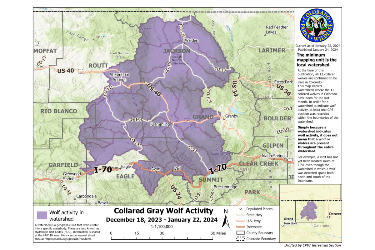
The highlighted areas on the map are all watersheds in the state. A watershed is marked as purple when a wolf’s GPS collar indicates they entered that watershed. So it doesn’t necessarily mean the wolves have been everywhere on the map that’s in purple, but it does mean they have been in the vicinity. For example, Colorado Parks and Wildlife say they have not tracked a single wolf south of I-70, the state’s main east-to-west corridor.
While the debate about reintroducing wolves is likely to continue, advocates say the animals were once part of the state, and they should return. The last of the wolf population disappeared in the 1940s.
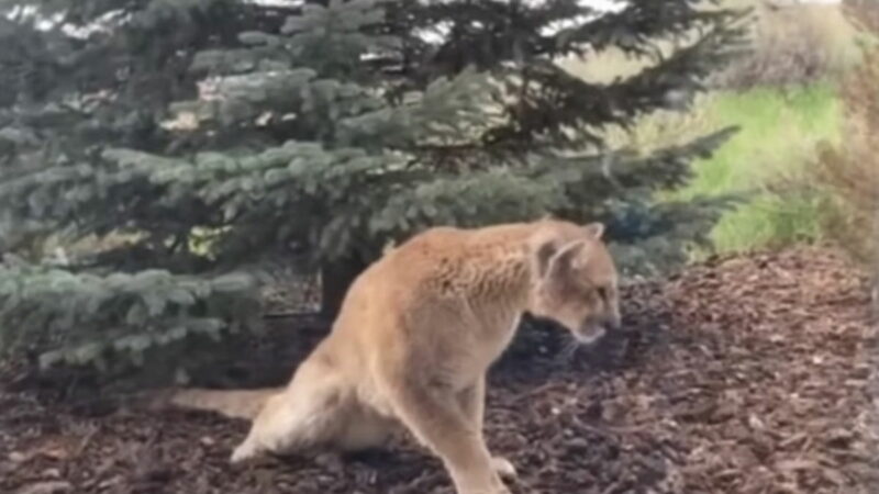
Wildlife experts say people should not fear the wolves, even when hiking. In general, the animals do their best to avoid human interaction.
Tracking the Wolves
Colorado Parks and Wildlife shared this additional information about the wolves and their tracking collars:
- Currently, the collars are programmed to record a position every four hours.
- Once four locations have been recorded, the packet of four locations is then transmitted via satellite to CPW biologists.
- The frequency of both position recording and transmission of the data can be delayed by a number of factors, such as dense cloud cover and closed terrain.
- By looking at the data, CPW staff can learn where wolves have been, but they cannot tell where wolves are at a current point in time, nor can they predict where the wolves will go.
- To protect the wolves, specific GPS data will not be shared.