Can You Predict the Weather by Observing Cloud Patterns While Camping?
Imagine that you’re at a campsite and you see a row of clouds off in the distance. You didn’t bring any rain gear because the rain wasn’t in the forecast. Now you face a decision. Should you pack up and go because it might rain? Or, do you chance it and stay?
You can answer this question on your own by considering several factors like the height, shape, speed, and color of the clouds. It’s a skill called “cloud reading,” which means predicting the weather with nothing but the clouds in sight.
Of course, there are other things to understand about the clouds to get a more accurate prediction, which will ultimately help you know whether to stay, head back, or take shelter.
Types of Clouds
According to the National Weather Service, clouds are organized into three groups: high-level clouds, mid-level clouds, and low-level clouds. They’re also classified by their height and appearance from the ground. You won’t have to worry about high-level or mid-level clouds. They’re often scattered across the sky, and while they could indicate bad weather is coming, it’s not an immediate indicator. Low-level clouds, on the other hand, pose more of a concern.
Low-Level clouds
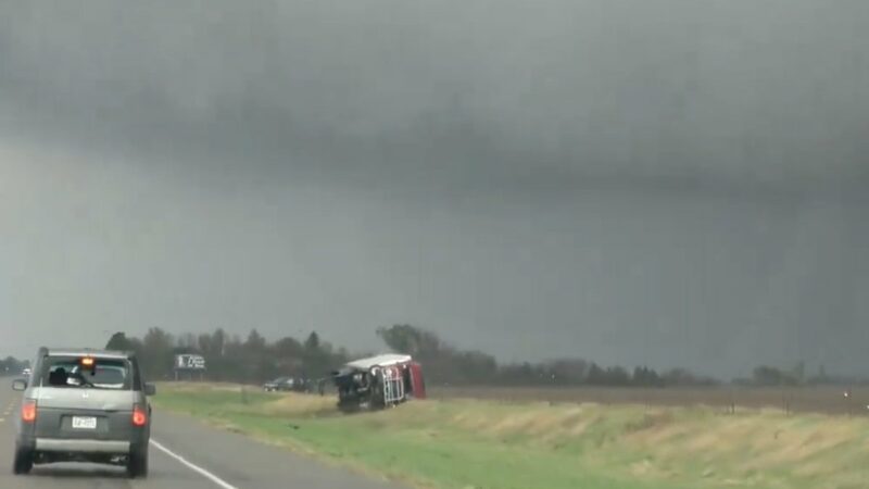
A low-level cloud typically hovers about 6,500 feet above the ground and normally consists of water or snow, depending on the temperature. While they can result in bad weather, the shape of the cloud will help you predict how bad. According to the NWS, there are two main types of low-level clouds: stratus and cumulus, and then there are also three kinds of stratus clouds.
Stratus Clouds
The first — known simply as stratus clouds — are grey or white clouds that appear flat and uniform. They may produce a drizzle and can linger for hours to days. Next, stratocumulus, are hybrid clouds that appear both horizontally and vertically. They appear either ahead of or behind a frontal system, meaning a change in the weather could happen or just did.The last kind is nimbostratus, which appears as a thick layer of clouds. These produce steady rain or snow.
Cumulus Clouds
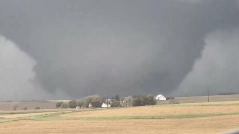
A cumulus cloud that develops vertically is called cumulus congestus or towering cumulus. It’s the result of atmospheric instability, moisture, and lift. If enough cumulus clouds develop, it could lead to collisions, which result in electrification. In other words, cumulus clouds could result in thunder and lightning storms.
Predicting the Weather with the Clouds
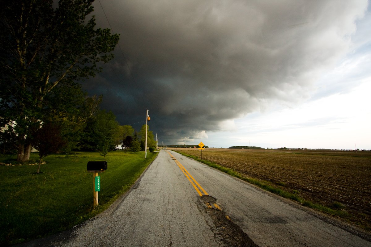
If you see thin clouds high up in the sky, you’re ok, but if you see thick dark clouds covering the sky, it most likely means it’s about to rain. And if you see clouds developing vertically, it means a storm is a comin’.
Source: https://outdoors.com/how-to-predict-the-weather-by-looking-at-clouds/