A Hiker’s Guide to Mount Marcy
When you hear people talk about the best spots to go hiking on the east coast, one region repeatedly comes up: The Adirondacks. You could spend your whole life exploring this range and still find something new to astound you each time you venture out. Their beauty and diversity of life make up a crowning jewel on the head of America’s ancient eastern peaks.
While there are plenty of worthwhile mountains to climb in the Adirondacks, most of us can’t devote our lives to exploring all they offer. Therefore, the answer is to get to the highest ground you can find. That means climbing Mount Marcy.
From there, you’ll be able to survey the entire area, a couple of states over, and even another country — Vermont and New Hampshire lie to the east, and Quebec to the north. Don’t let Marcy’s grandeur and status intimidate you. It’s a completely attainable hike, you just have to be prepared, so here are the details.
Mount Marcy: The Highest Peak in New York
Let’s set the scene. Sitting at 5,344 feet in elevation, Mount Marcy is the tallest peak in New York and the fourth tallest peak east of the Mississippi. Its name in Mohawk is Tehawe’éstha, and it is part of Haudenosaunee and Mohawk land.
So often when summiting a mountain, we may not even know the other peaks we’re looking at, but it’s worth a little research with this one so here’s a guide. If the weather’s clear, you should be able to see Montreal’s Mont Royal to the north, The Green Mountains, and the White Mountains of New Hampshire to the east, and with some binoculars or impressive camera zoom, even Mount Washington.

We’re getting a little ahead of ourselves, though, since getting to Marcy’s peak is no cakewalk. It’s quite a steep hike, and in the case of rain or snow, you can run into some difficult terrain. This is certainly something to consider as you make your way up the mountain because nothing spoils the feeling of standing atop a 5,000-foot peak worse than abject terror as you slide back down. If you’ve spent time hiking through the Appalachians, you know how quickly the weather can turn out east, so be sure to come prepared.
The hike will be approximately 16 miles out and back via the Van Hoevenberg Trail, and you’ll gain over 3,000 feet of elevation. That sounds like a lot, (and it is,) but the route is well-graded for the most part. You will run into some steep sections along the way, but chances are you won’t have to do them alone. Even hiking solo, you’ll run into other people. While Marcy is relatively remote, plenty of hikers come to visit. As of 2022, there were about 70 hikers a day in the summer, and in 2021 it had been more than 100. Granted, Covid affected these numbers when quarantine inspired a spike in outdoor recreation.
If you’re planning for a Mount Marcy hike, you should know your nearest town is a world-famous vacation spot. Lake Placid hosted the Winter Olympics in 1932 and 1980 and was the setting for “The Miracle on Ice.” There’s beautiful fall foliage in autumn and world-class skiing in the winter, along with great spots to eat and drink. It’s a great place to relax, look out over the lake, and unwind after your trip to the top.
Mount Marcy Hike: The Van Hoevenberg Trail
Getting to the Van Hoevenberg Trail is an easy 15-minute drive from Lake Placid. Heading south out of town, continue onto NY-73 E. Proceed for almost three miles, then make your right onto Adirondack Loj Road and continue until its end. You’ll find yourself at the High Peaks Information Center, and it will cost you a small fee to park there for the day — $15 unless you’re a member already. If the booth isn’t attended when you arrive, be sure to leave some cash in the drop box.
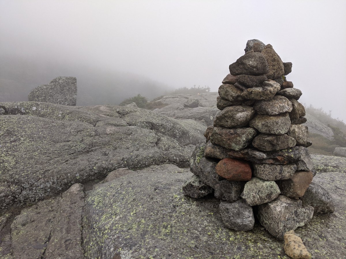
As far as trail guides go, I’ve seen few as helpful and comprehensive as this one. The stream crossings are especially helpful to know about beforehand. Waterproof shoes or spare sandals in which to cross will make this hike a drier, more enjoyable experience. You might be glad to know that the path to the summit varies in intensity. It’s not just a straight shot up, but there will be areas that feel more like a scramble. Especially as you near the summit above the treeline, be ready to proceed on flat rock surfaces. In fact, you may run into a summit steward that will guide you in not disturbing the delicate alpine ecosystem. You’ll learn it’s vital, especially on such a well-traveled trail, to walk only on those durable rock surfaces.
Plenty of folks can manage to get up and down in a day, but it may be worthwhile to split this into a two-day trip. If you’re starting late or just don’t like to feel rushed, there are plenty of campsites around the Marcy Dam area. When opting for an extra day, you should plan ahead for food storage. Bear cans are required in the Adirondack backcountry since black bears are clever enough to outsmart even people who hang their food. I know, the canisters are heavy and they’re bulky and they’re annoying, but they’re also vital to preserving the safety of our bear siblings.
Risk It For The Biscuit
A Mount Marcy hike has epic views, but it can have its corresponding challenges. There can be snow into the late spring, and it’s not fun to be freezing and post-holing if you weren’t planning on it. Experienced hikers and peak baggers may think Marcy will come easily to them, but nature often has a few surprises to send their way. It’s important to respect the natural world no matter how experienced you are.
Rain can make the rocks slippery and dangerous, which can leave you in a bad spot if you make it to the top and then the weather turns. In terrible conditions, you may run into rangers encouraging hikers to divert to Avalanche Lake. Simply know before you go and stay motivated. A little type two fun is good for the system. Each blister is a future callous, and every skinned knee is a badge to wear with pride. Obstacles will make the summit that much more rewarding.


