9 Best Hiking Trails In Texas
With mountains, grasslands, canyons, lakes and desert, Texas has tons of landscapes to explore. If you want to do that exploring on your feet, we have just the thing. Well; 9 things actually.
With a mix of data from personal experience and recommendations from friends and colleagues who have spent time hiking in the state, here are the 9 recommended hiking trails in Texas.
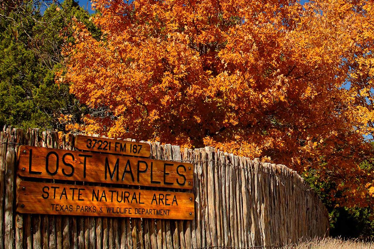
1. East Trail at Lost Maples State Park
Distance: 3.1 miles
Elevation gain: 400 feet
Difficulty: Moderate
The East Trail at Lost Maples State Park came up a few times when we were collecting suggestions for this list, mainly as a tough one day hike. The hike itself isn’t that long but the climb of almost a mile with 400 feet elevation gain is.
In return, you’ll get to see creeks, woods, flatland, hills, cypress and sycamore trees, the Sabinal River, rock faces and some amazing views of the surrounding countryside once you gain elevation.
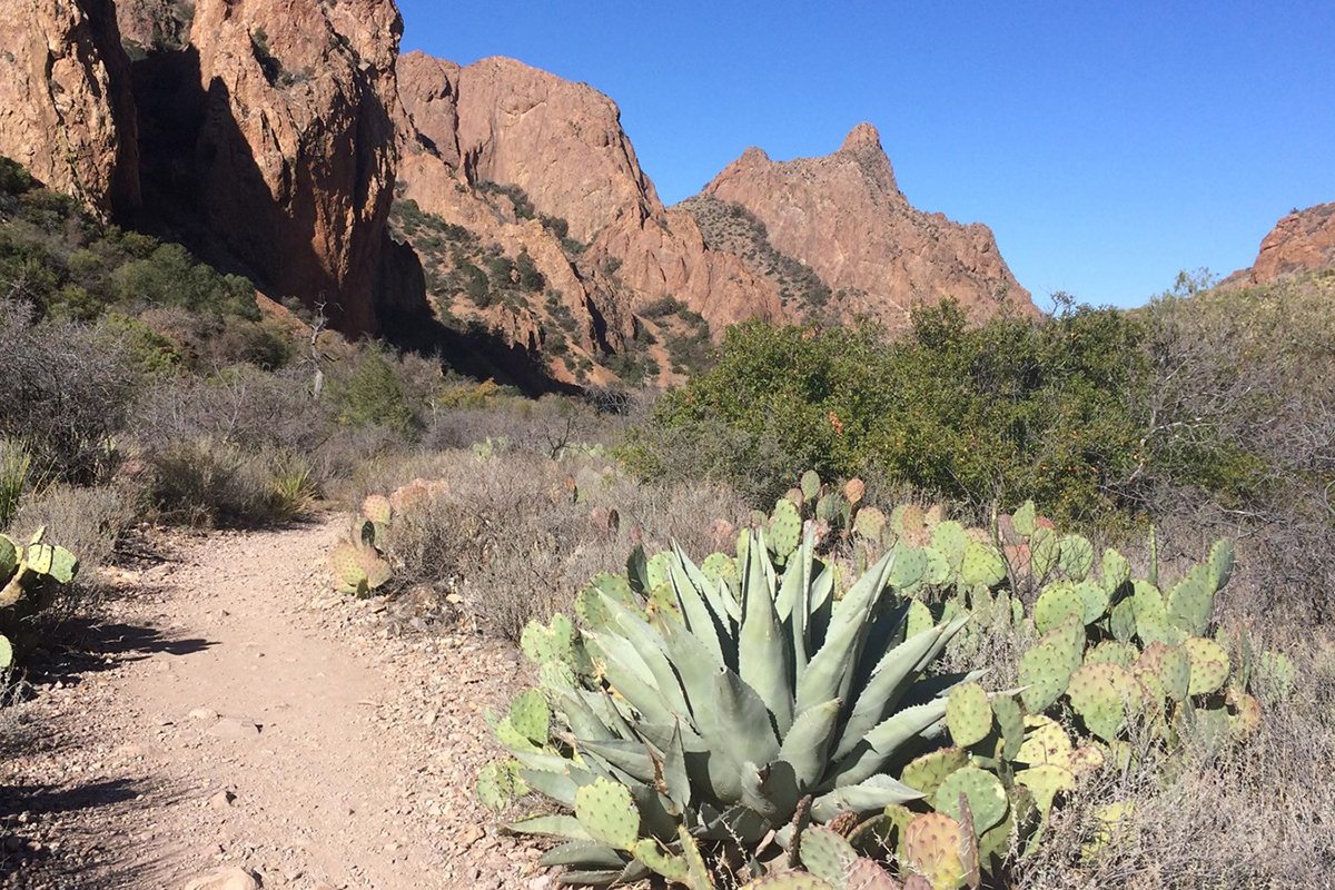
2. The Window Trail, Big Bend National Park
Distance: 5.5 miles
Elevation gain: 900 feet
Difficulty: Easy/Moderate
The Window Trail is set in Big Bend National Park and includes the Chisos Mountains. It’s a popular route, especially in summer that follows Oak Creek Canyon before turning off to The Window.
The Window is where things become rocky and slightly more challenging before reaching the drop off at the top. You’ll get to see lots of desert vegetation, some cool rock formations and some epic views from the summit.
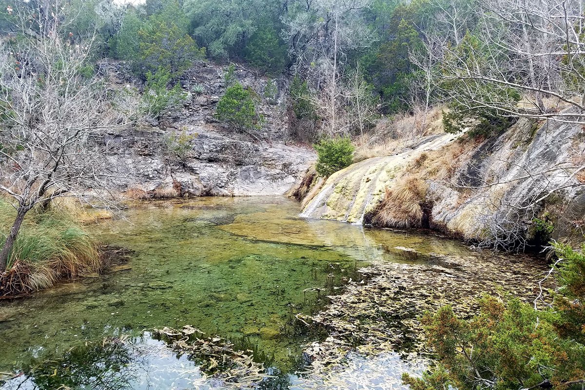
3. Spicewood Springs Trail at Colorado Bend State Park
Distance: 2.5 miles
Elevation gain: 30 feet
Difficulty: Easy
The Spicewood Springs Trail is located at Colorado Bend State Park, not far from Austin. The park is huge, with a number of trails within it that cover canyons, woodland, rivers and scrub.
The Spicewood Springs Trail starts in Spicewood Springs Creek and follows the creek floor through shaded areas before heading into a canyon alongside a creek. It’s a peaceful hike, where you’ll be alone most of the time regardless of how many people are around.
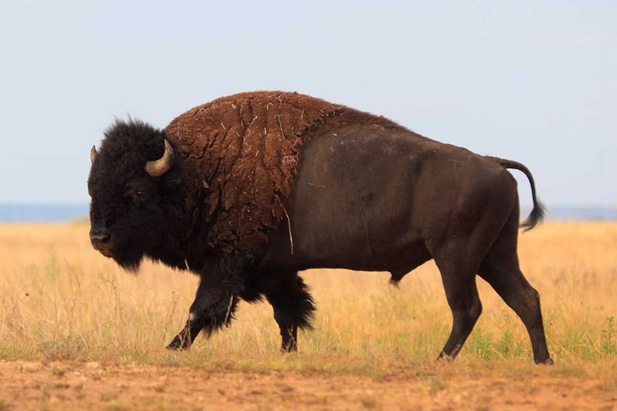
4. Caprock Canyons State Park Trailway
Distance: 64.2 miles
Elevation gain: 1130 feet
Difficulty: Easy
The Caprock Canyons State Park Trailway in Briscoe County is another popular place to hike in Texas. It’s just over 64 miles long but can be broken down into much shorter hikes or hiked over multiple days.
The park is huge and open to all so you’ll see horses, mountain bikers and other hikers regularly. The area is full of trails and you’ll need to pay to use them, but otherwise you’re free to roam or hike as you see fit over the well-kept, mostly flat trails.
5. Pine Ridge Loop, Caddo Lake State Park
Distance: 1.2 miles
Elevation gain: 20 feet
Difficulty: Easy
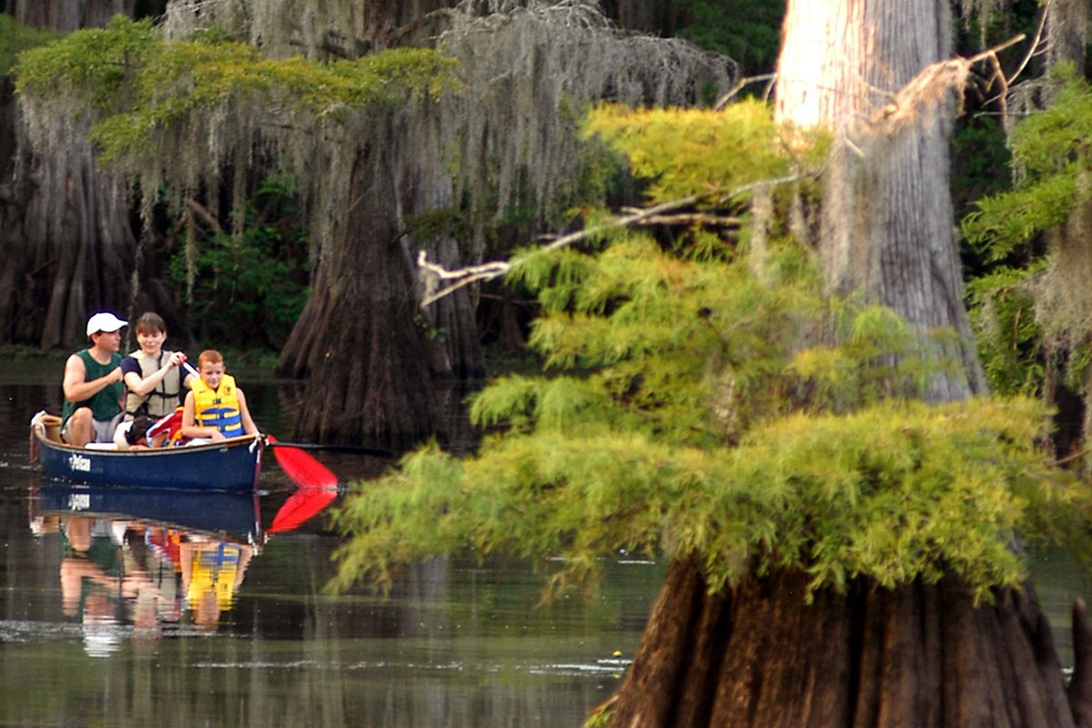
Caddo Lake State Park is on the border of Texas and Louisiana and is an amazing place to visit. Its wetlands are full of cypress trees, moss, shallow water and some hiking trails on higher ground throughout the park.
Pine Ridge Loop is a relatively short trail at just over a mile but can be joined with other trails to go much further. The terrain is largely flat and easy going and is popular for its peace and quiet as much as for the unique surroundings.
6. Bentsen Rio Grande Valley Loop Trail

Distance: 4.4 miles
Elevation gain: 1130 feet
Difficulty: Easy
The Bentsen Rio Grande Valley Loop Trail came up a lot in our discussions. It’s inside Bentsen-Rio Grande Valley State Park close to Mission, Texas. The park is birders paradise and overall very popular with visitors, but it’s the trail we’re interested in.
The trail has a couple of sections, with 1.8 miles of it being wheelchair accessible. The rest is well-laid trail that takes in the lake, wetland and lovely green surroundings.
7. Lost Mine Trail, Big Bend National Park
Distance: 4.8miles
Elevation gain: 1110 feet
Difficulty: Moderate
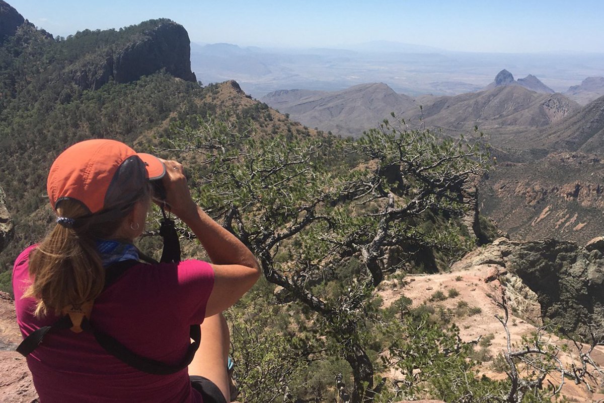
Lost Mine Trail is within the huge 8,000 acre Big Bend National Park near Terlingua, Texas and takes in the mountains and desert surroundings. The park is very popular and this trail is a local highlight, so expect to see plenty of people.
The trail can be rocky and covers a lot of ground from the desert floor to rocky hills. It’s a very rewarding hike and provides some amazing scenery, especially towards the end.
8. South Rim Trail in Big Bend National Park
Distance: 12.6 miles
Elevation gain: 2800 feet
Difficulty: Moderate/ Difficult
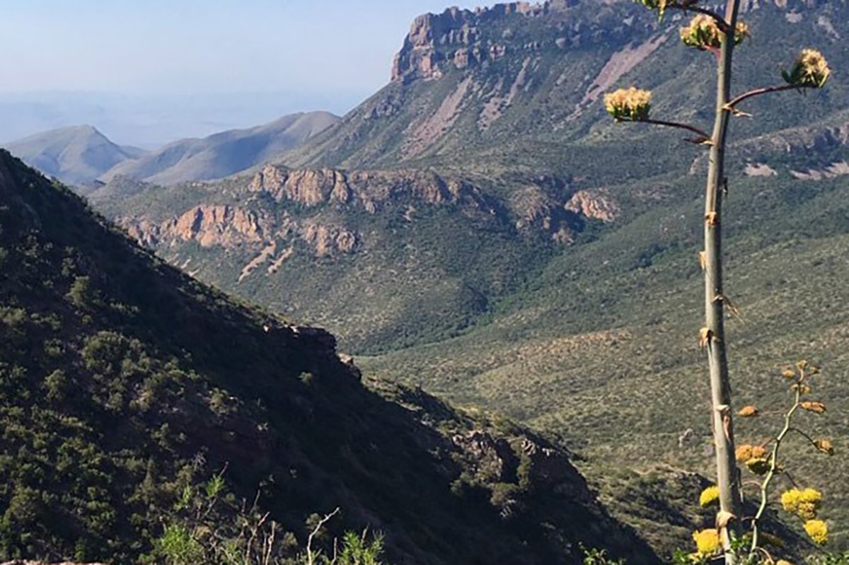
Staying in Big Bend National Park, we also recommend the South Rim Trail. It’s more challenging than the Lost Mine Trail but no less enjoyable. It’s hard in places, especially the climbs, so be prepared.
You’ll begin in Chisos Basin before climbing up to South Rim with its spectacular views of the Chihuahuan Desert. Continue up to Emory Peak and sit and spend time enjoying the epic views before working your way back.
9. Devil’s River State Natural Area Trail
Distance: 20 miles
Elevation gain: 1130 feet
Difficulty: Moderate/Difficult
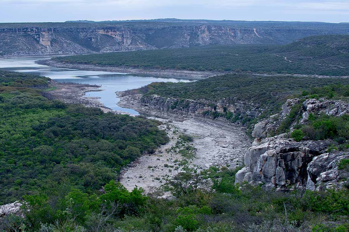
The Devil’s River State Natural Area Trail is a type of wild Texas you don’t usually get to see much of. It’s made up of crystal clear rivers, rocky ridges, canyons and brushland and feels different to a lot of other places.
The loop trail begins at a car park with a 1 mile hike to Devil’s River where you can take a dip, kayak or turn off and keep walking. The wide trail goes on for a while and can cover ridges, historic buildings and end at the spring. Depending on the time of year, there may be a little paddling involved so be aware.
What are your favorite spots to hike in Texas? Tried any of these trails? Tell us about it below.


